South Florida woke to bright skies and a comfy 79 degrees.
Open your front door, step out and enjoy the fresh air. Chances are you’ll be inside for much of the weekend — because a lot of wet is coming, courtesy of a tropical disturbance that is currently in the Caribbean.
According to the National Hurricane Center’s 2 p.m. Saturday report, satellite, radar and surface data indicates that that broad area of low pressure just west-southwest of Grand Cayman Island is continuing to become better organized. Wind circulation has become better defined with increased thunderstorm activity and falling surface pressures since Friday evening.
“Environmental conditions are conducive for further development while the low drifts toward the north and northwest this weekend,” the center said, putting the chances for development in two and five days at 100%.
Forecasters say the disturbance will form into a tropical depression Saturday afternoon or evening.
SOUTH FLORIDA RAIN CHANCE, FLOOD WATCH
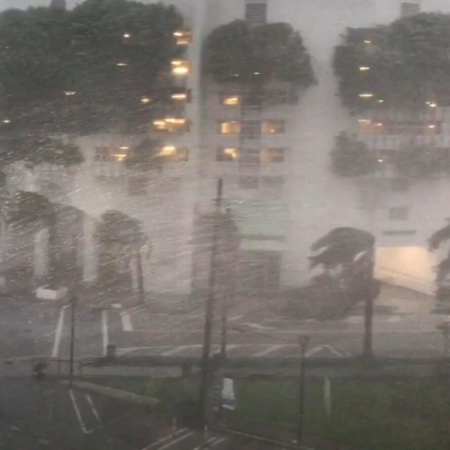
Speaking of 90%, that’s the rain chance for South Florida and the Florida Keys Sunday, too, because of this system in the Caribbean, the National Weather Service in Miami forecasts in its hazardous weather outlook issued Saturday morning. The mass of wet weather should start arriving through Saturday afternoon and evening.
A flood watch for South Florida from South Miami-Dade to Metro Palm Beach is in effect until 8 p.m. Sunday. A flood watch is also in effect until 11 a.m. Saturday in the Keys.
All of this rain — possibly up to six inches in spots — coincides with a time of high tides.